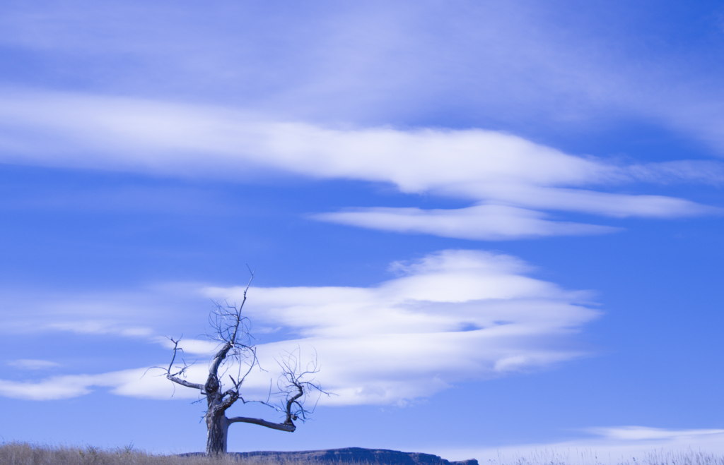
This image was taken on October 31, 2025 at 11:32 pm in Van Bibber Park facing due west at an angle of about 10 degrees from horizontal. The clouds in the center of the image seem to be clouds of orographic origin (similar to lenticular), with some stratus clouds (possibly cirrostratus) in the top quarter of the image.
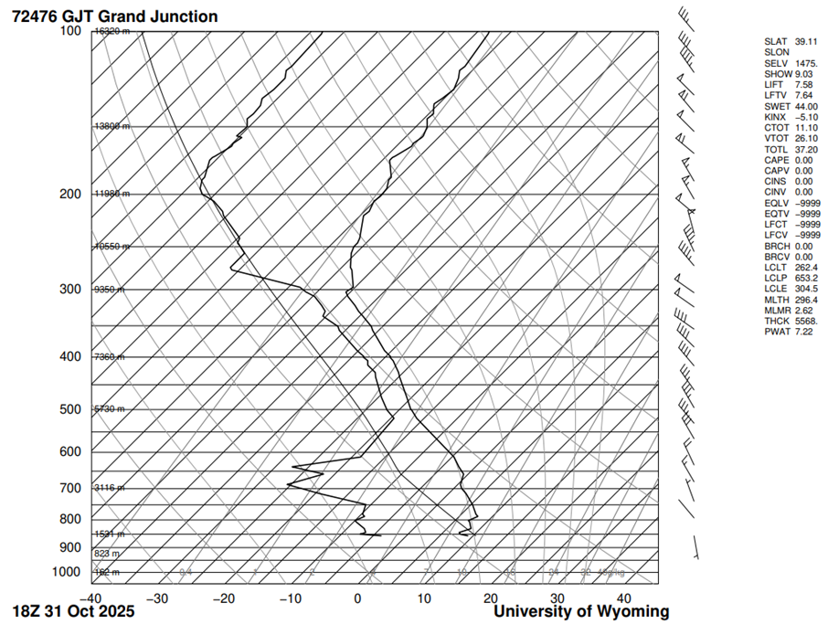
The clouds photographed appear to be lenticular in the center and be cirrostratus clouds towards the top. Looking at the Skew-T diagram (University of Wyoming), which was measured within 30 minutes of when the image was captured, the CAPE (0.00) and slope of the temperature in relation to the adiabatic lapse rate indicates a stable atmosphere. Evidence of cloud formation includes the example line following the wet adiabatic lapse rate at 650 mb (~3800 m or 12,000 feet), and the high relative humidity above 500 mb (~5700 m or 19,000 feet). The lower clouds could be the lenticular clouds in the middle or alto altitude, and the stratus clouds could be the higher clouds, near the border between mid (alto) and high (cirro) altitude. The stable atmosphere suggests that the clouds did not result from instability. Since the winds are generally westerly, this provides more evidence that mountain waves were formed downstream of the mountains, forming potential altocumulus standing lenticularis (ACSL) clouds
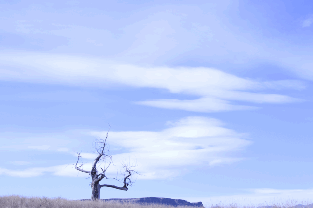
Original Image:
Report:
1 Comment. Leave new
I really enjoy the composition of this photo. The inclusion of the tree in the frame gives the image a really cool focus point. As I said today in the critique, I also really like the image captures several vertical layers of clouds all the way up to cirrus on the top. Awesome image overall!