Clouds Second // Antonio Gueretta
“The Calm Before the Winter Storm”
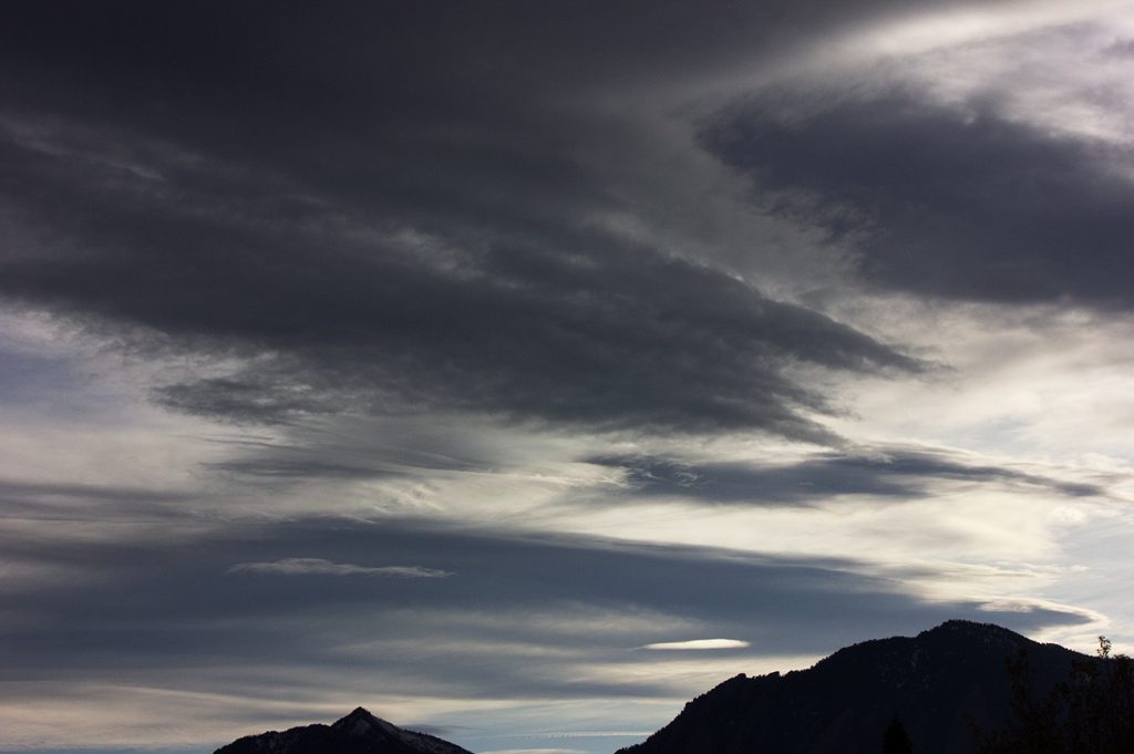
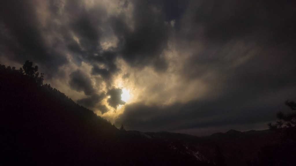
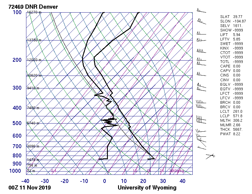
In this image, there are altostratus and remnants of cirrostratus clouds. The camera settings for this image are as follows; Camera: Canon EOS Rebel T3i DSLR, Aperture: f/18, Shutter Speed: 1/800, ISO: 800, Focal Length: 55 mm. The Skew-T diagram, Figure 1, presents information about the atmosphere near the time this image was captured. These clouds are most likely at an elevation between 5000 and 8000 meters above the ground level. The CAPE value is 0 which means that the atmosphere is stable.
This stability, however, did not last long as a winter storm hit Boulder later that night. This can be seen in the Ceilometer reading from the Skywatch Observatory at CU Boulder, Figure 2. The clouds that were are in this image are scattered dots from the infrared reflectivity of the ceilometer. It can be seen at approximately 00 UTC that the clouds became denser and dropped closer to ground level resulting in the snowstorm that Boulder residents woke up too.
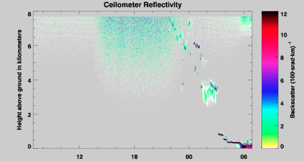
Image Author: Antonio Gueretta
To learn more, View Visualization Report