Ryan Cameron
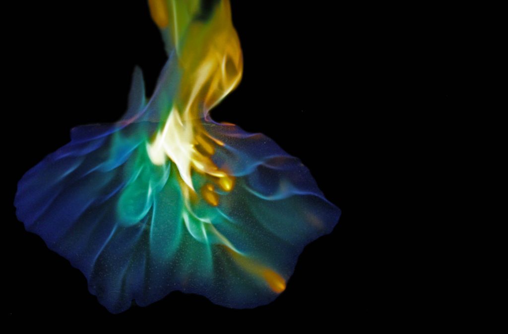
This is an image of smoke flowing over a propeller wing hanging from the ceiling. The wing is not moving and the velocity is only driven by the temperature of the smoke and buoyancy force.
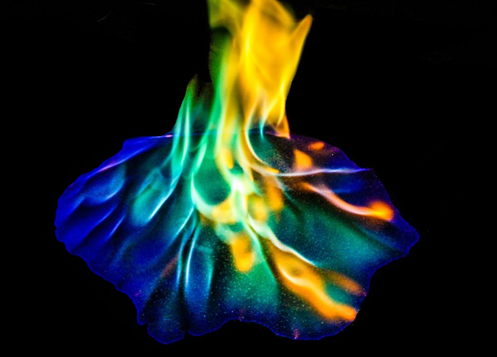
This is an image of smoke flowing over a propeller wing hanging from the ceiling. The wing is not moving and the velocity is only driven by the temperature of the smoke and buoyancy force.