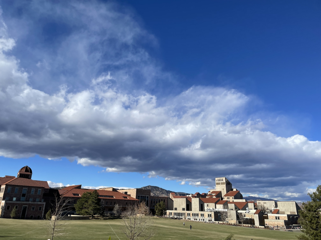
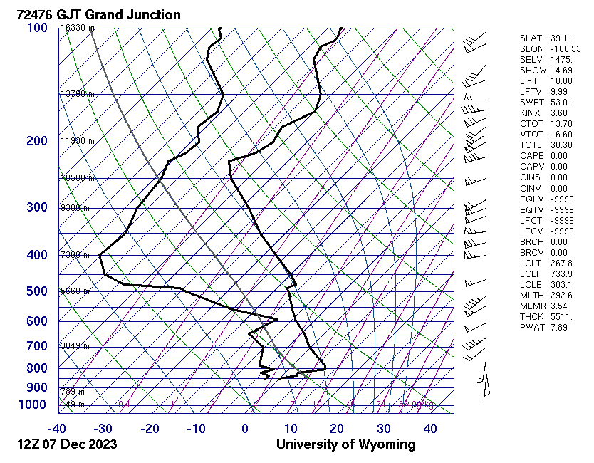
Taken on Dec 7 at 12:15 pm outside the CU Events Center, this image depicts the leading edge of storm front that is soon to roll in over the next couple days. The clouds in this image are primarily composed of stratocumulus clouds. This image was shot on my IPhone 12 Pro with a 26mm f/1.6 lens at a shutter speed of 1/4651s and an ISO of 32. Included in the post is the 12Z Skew-T plot from the University of Wyoming atmospheric sounding station in Grand Junction.
2 Comments. Leave new
This is a really cool cloud! I love that you can see the shadow in the business school here. It adds a lot of depth to the image.
CU Boulder has a beautiful campus, no matter the angle which is proven in this photo! Nice job Ciaran!