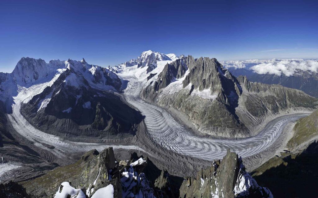
This photo shows the Mer de Glace glacier in Chamonix flowing down the valley. The Mer de Glace, which translates to “sea of ice,” advances approximately 70 meters per year in the center, and much slower at the edges, leading to the flow profile lines visible on the surface. I think this image is cool because the glacier exhibits a similar flow profile to faster-flowing rivers and fluids, just on a dramatically longer timescale.
Photographer: J.-F. Hagenmuller
https://iugs-geoheritage.org/geoheritage_sites/mer-de-glace/



2 Comments. Leave new
Second – The arrowlike striations of the glacier as it flows down the hill showing its direction are fascinating, and the overall size of the flow makes it very impressive.
First prize – Being able to see flow of large scale landscape changes is super cool. Seeing how everything flows like a liquid over long time periods is quite interesting. The alpine glacier landscape is breathtaking.