
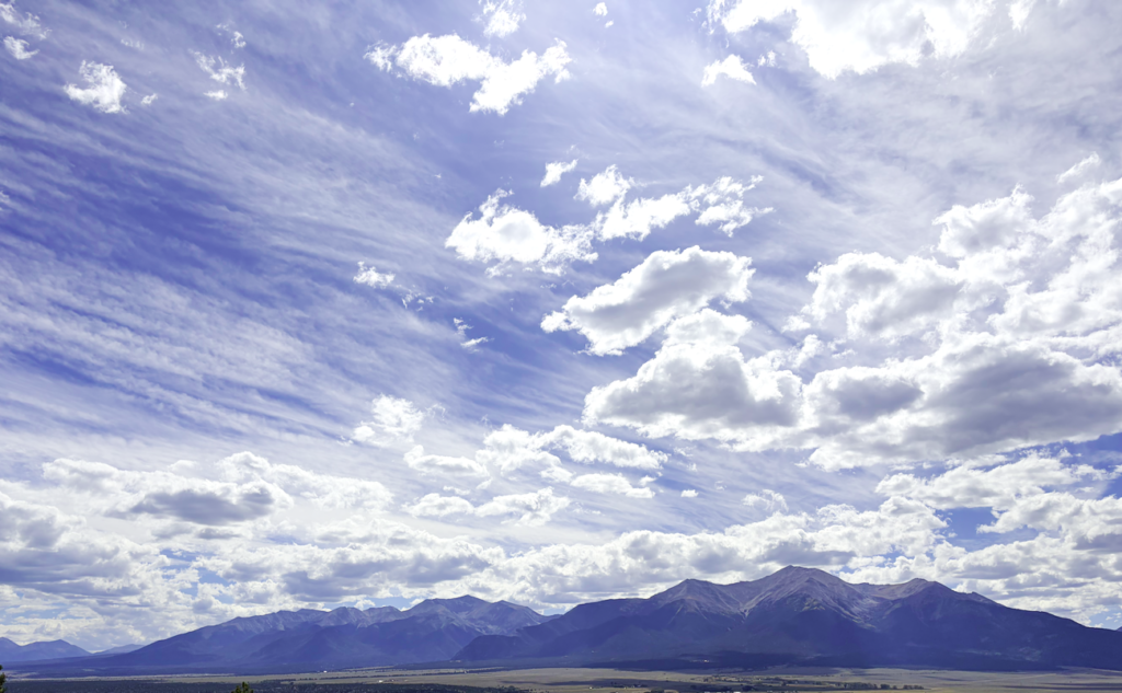
This picture shows the clouds above Mt Princeton that go along with the date and time of the provided SKEW-T diagram. I believe the lower layer is cumulus clouds based on the density, and the higher layer is cirrostratus based on their “wispy-ness”. I think the atmosphere was stable because both of these occur in stable atmospheres, and there was no precipitation that day.
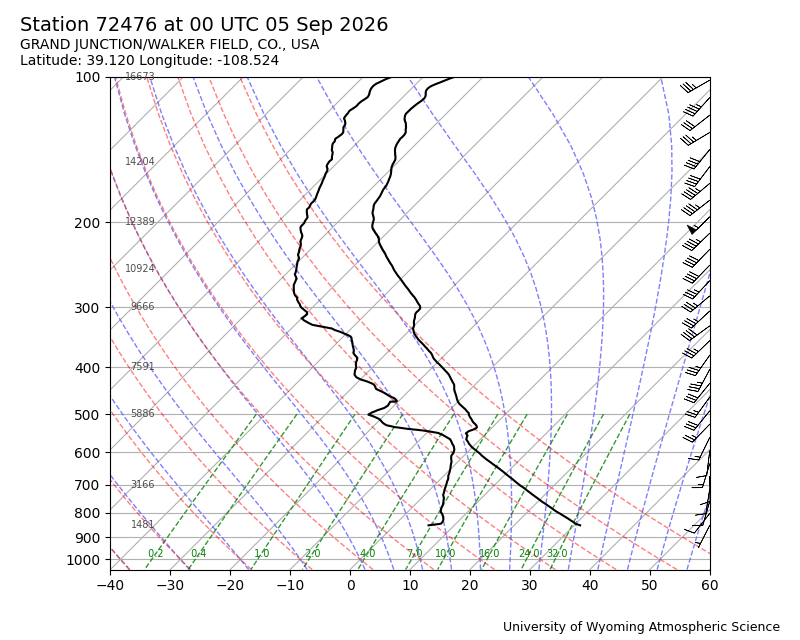
Report Attached:
https://www.flowvis.org/wp-content/uploads/2026/10/Clouds-First-Report.pdf


1 Comment. Leave new
This is a really good photo! I love the mountains at the bottom of the image. I also like how you can clearly see different types of clouds in the sky. The clouds at the top create a sort of striped pattern, while the clouds at the bottom look really fluffy. I think the contrast between the different cloud patterns makes the photo even more interesting.