
Grand Junction Skew T listed below at 6 PM MT on September 5, 2026 (00 UTC, September 6, 2026). Diagram gathered from Wyoming weather web, University of Wyoming Atmospheric Science (https://weather.uwyo.edu/upperair/sounding.shtml)
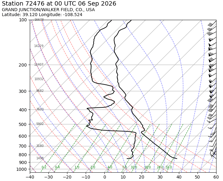
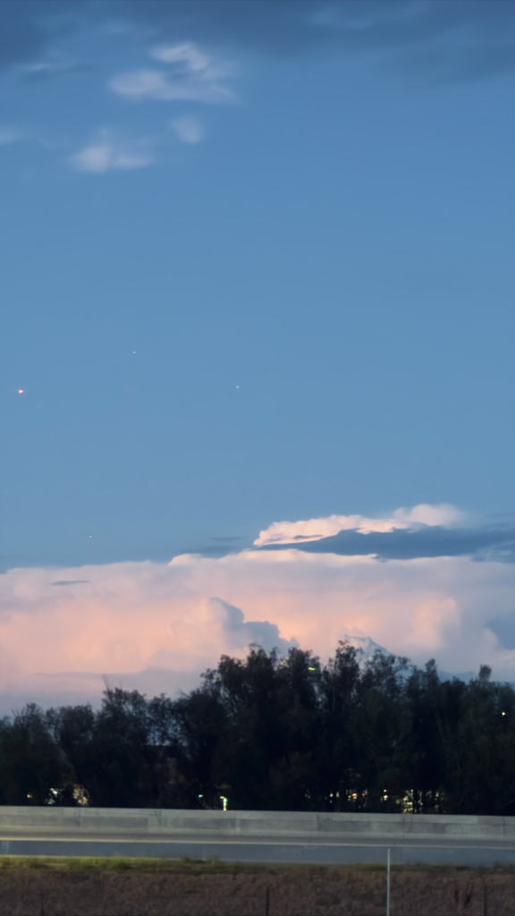
Over the past weeks I captured images of many different clouds, but I wanted to share this video (and photo) of the cumulonimbus that I had the chance to see during a short run. This photo was taken on September 5, at 7:59 pm, pointed northbound from the US 36 Bikeway Trail in Superior, Colorado. The cloud seems to be between the edge of Louisville and before Gunbarrel, with this cloud rolling through fairly quickly, as it disappeared within 15 minutes of capturing this video. The skew T diagram is the closest available one, and seems to depict an altocumulus, with a fairly fast windspeed picking up between 350-150 mb. An altocumulus does have an LCL at this pressure range, and with the wind speed and general direction from Grand Junction to Boulder/ Denver region, this westerly wind could have cause this altocumulus to transform into a cumulonimbus. Measuring the CAPE, we can gauge a positive area, indicating an unstable atmosphere.

