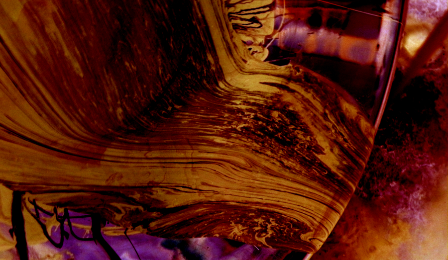
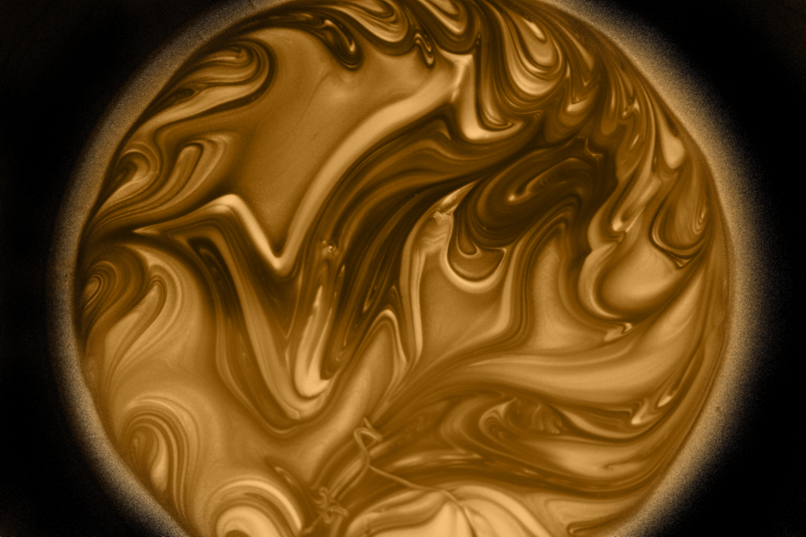
As silver bottle wax melts in a crock pot, its optical characteristics change, allowing motion in the wax to be seen, illustrating non-diffusive mixing.
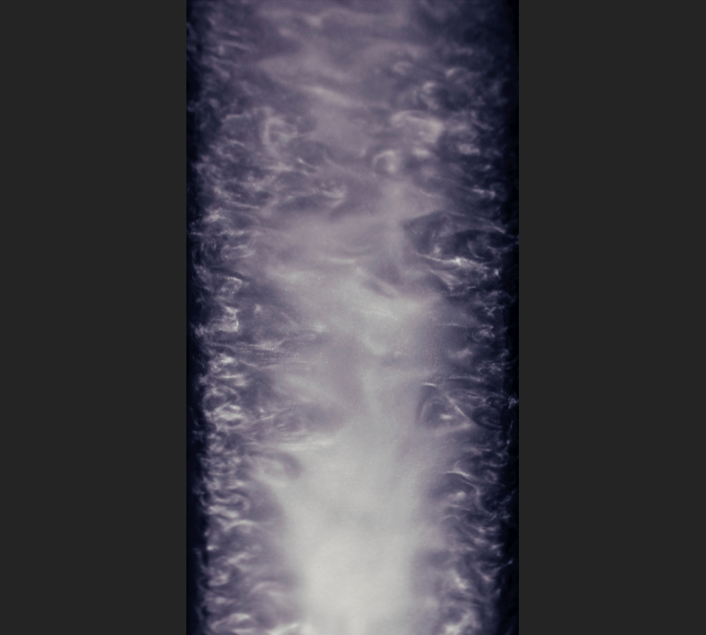
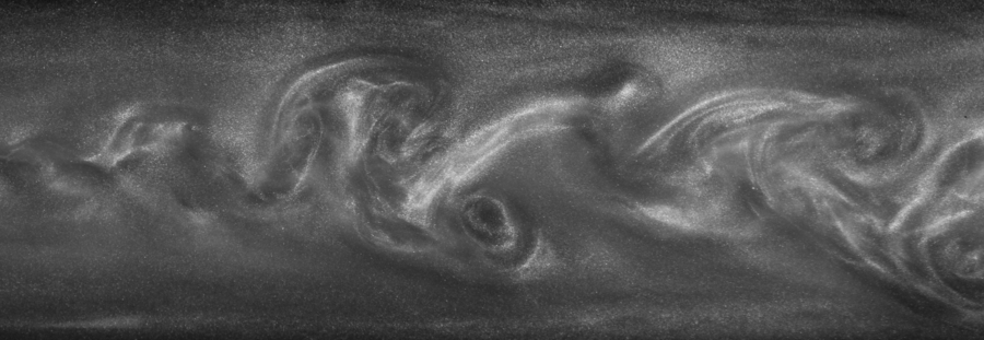
A von Karman vortex street forms in the wake of a cylinder in shallow channel flow, visualized with a rheoscopic fluid (Pearl Swirl).
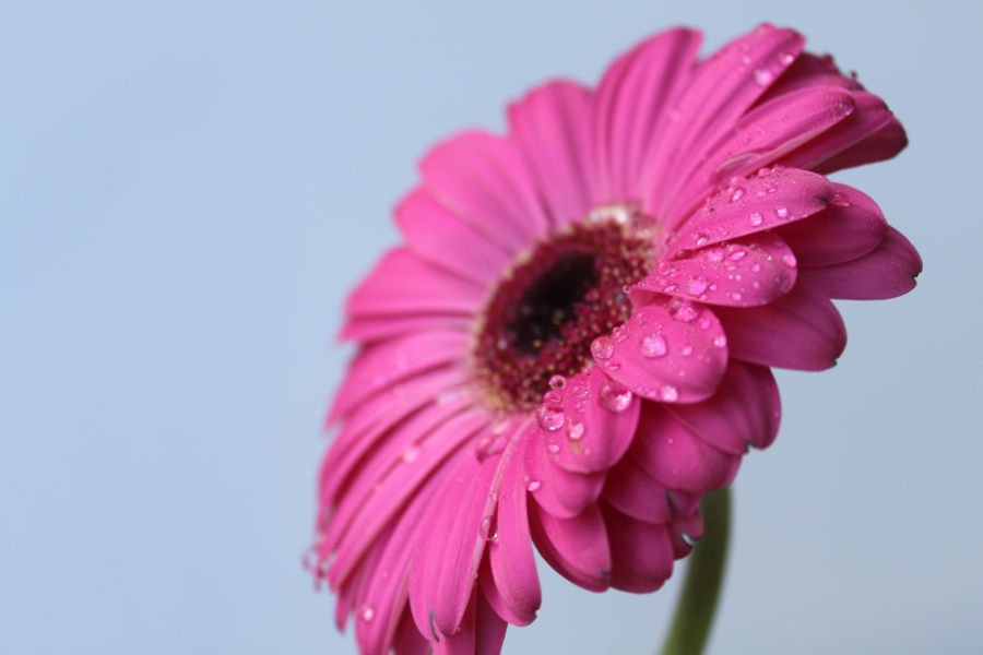
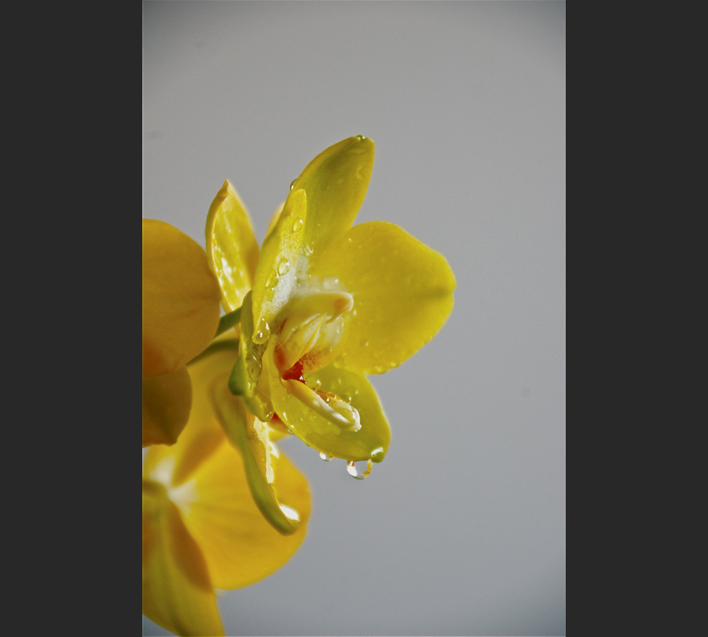
Droplets of dew on a flower show that the petal surface is superhydrophobic, making the water bead up, and at the same time adhesive, keeping the droplet from rolling off.
Droplets of dew on a flower show that the petal surface is superhydrophobic, making the water bead up, and at the same time adhesive, keeping the droplet from rolling off.
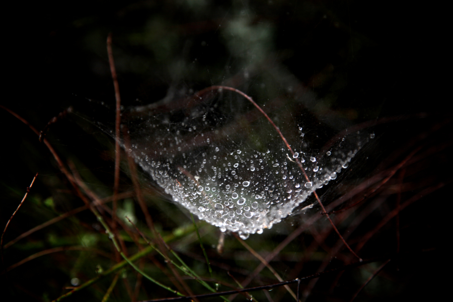
Large droplets of dew accumuate at the knots of a spider web when moisture smooths the fibers between.
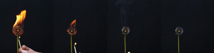
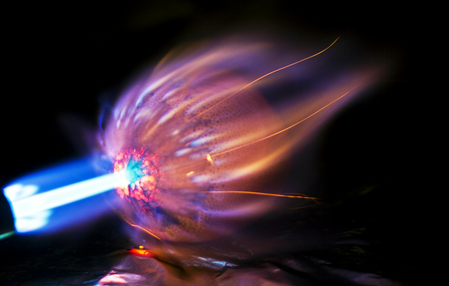
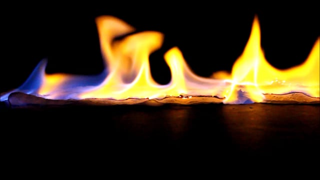
Crawling Fire shows the combustion of a length of toilet paper laced with hand sanitizer, ingnited by a magnesium fire starter.