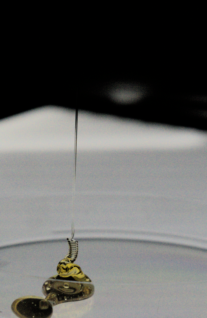
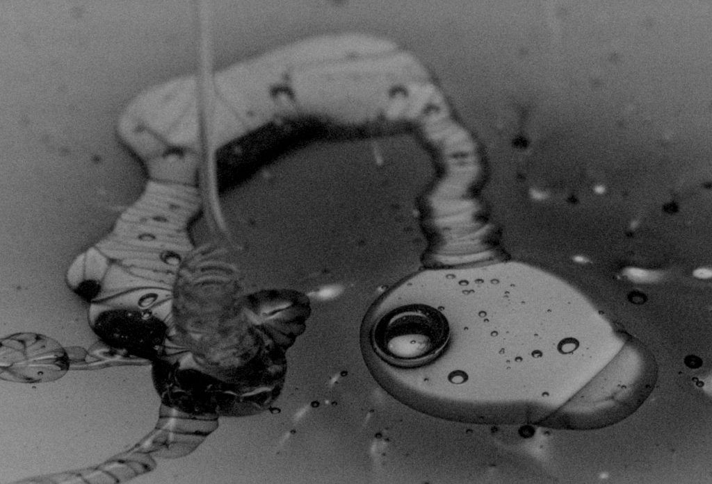
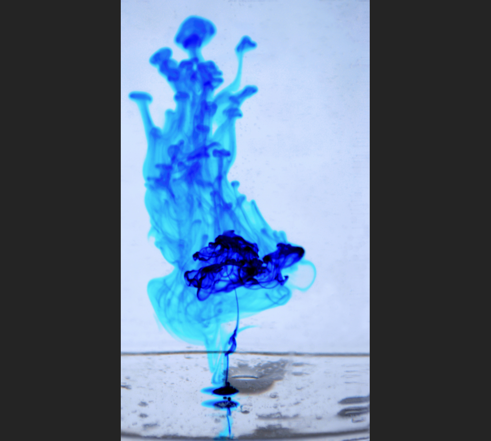
Drops of food dye sequentially make their way through a layer of coconut oil into water, creating ‘fireworks in a jar’, shown upside down here.
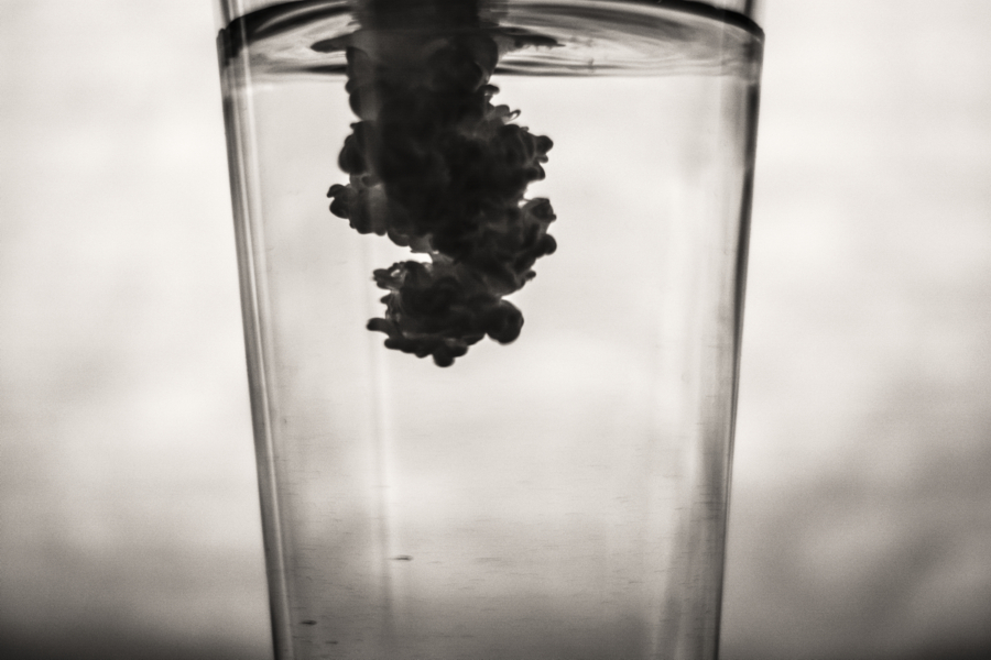
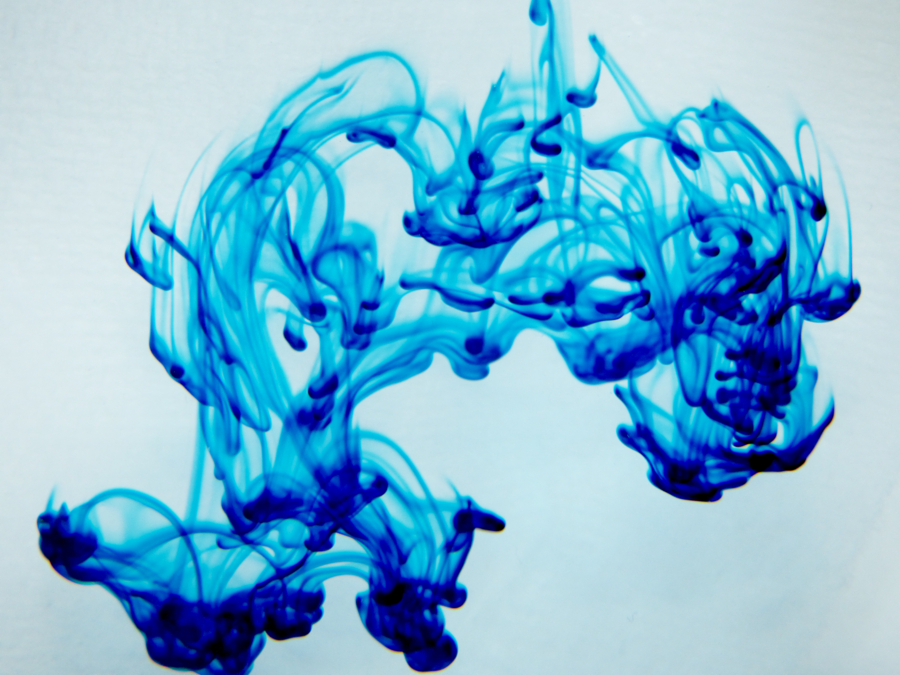
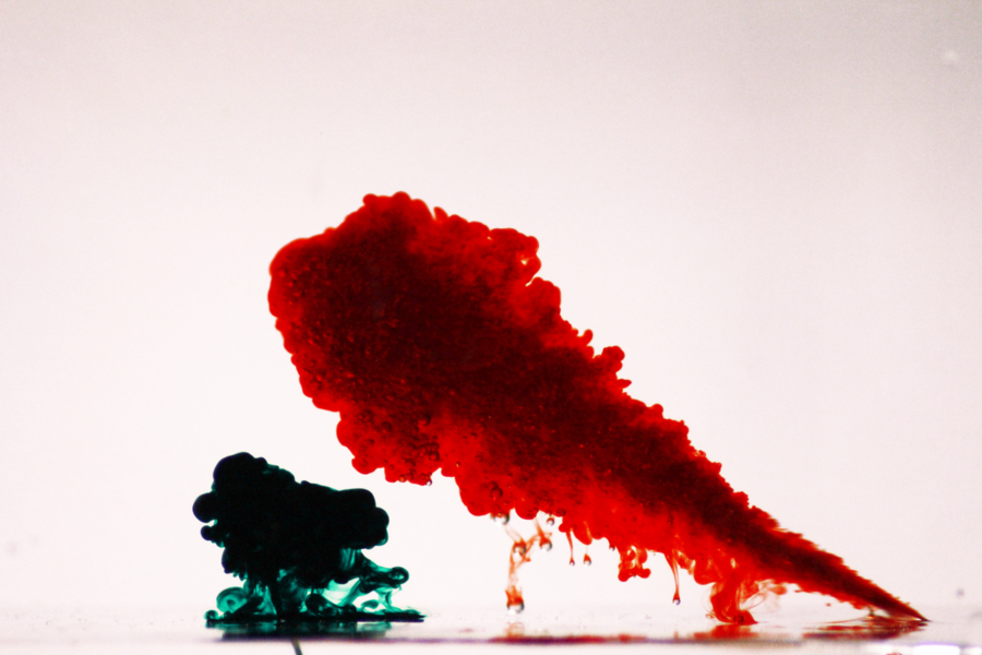
Blue food dye in water exhibits the Rayleigh Taylor instability, complete with ‘umbrella’ formations.
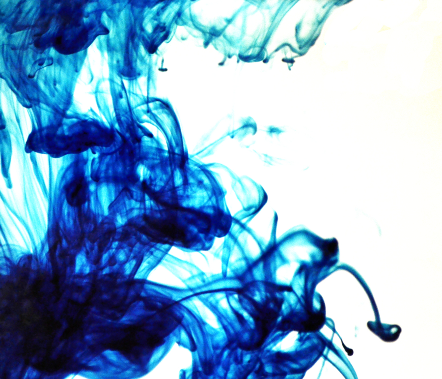
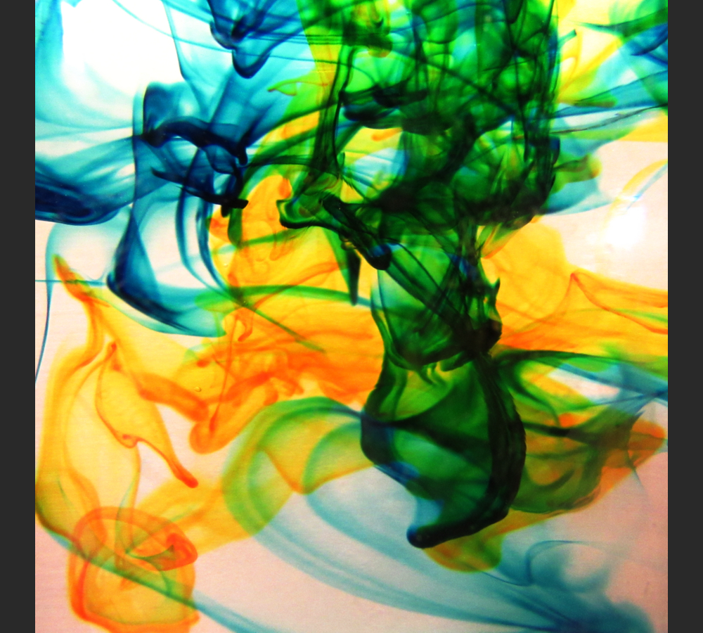
Food dye in water, with the top surface moving to the right distorts the usual Rayleigh Taylor formations.
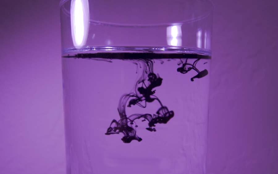
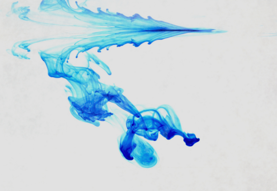
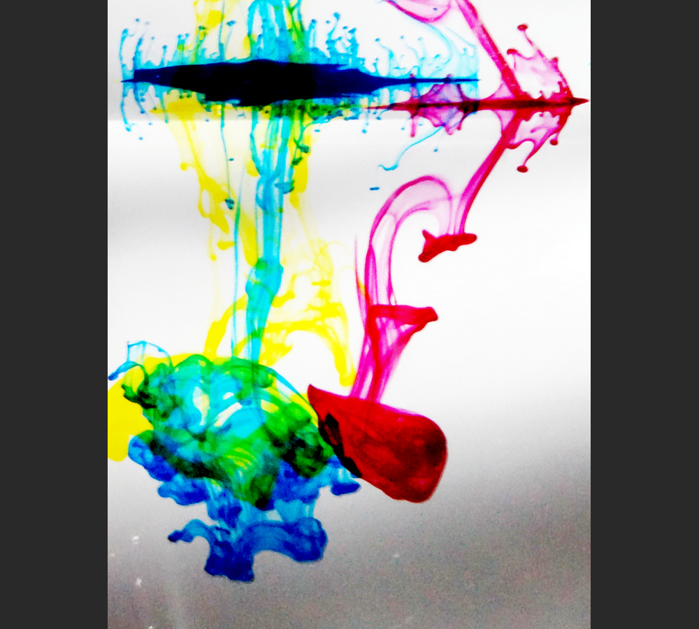
Demonstrating the Rayleigh – Taylor instability by dropping red, yellow, and blue batik ink into water simultaneously.