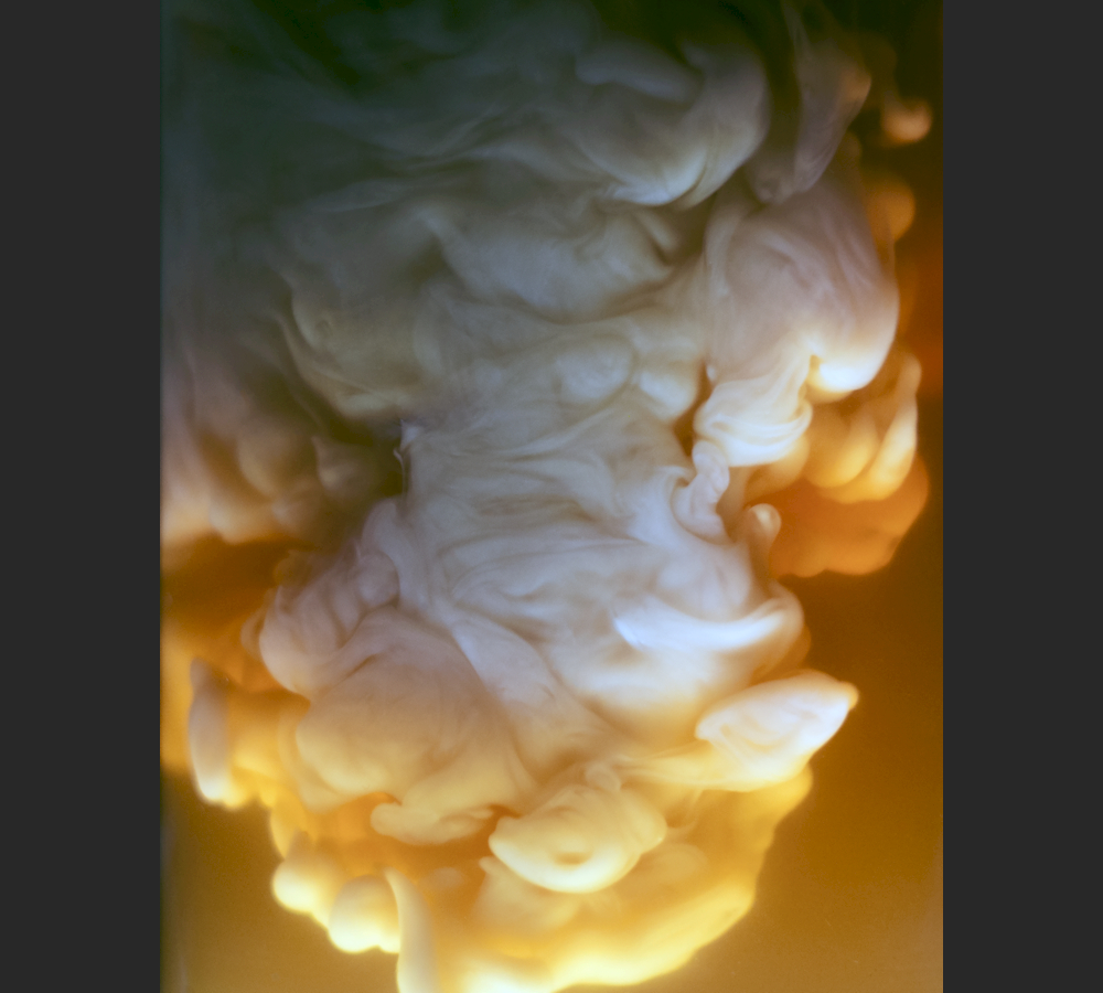
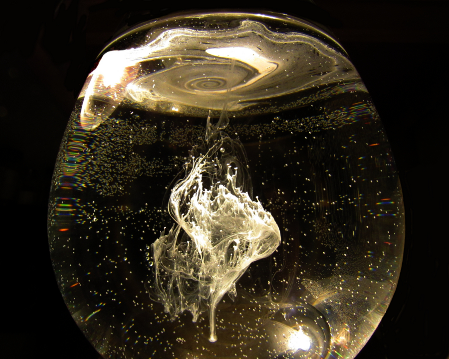
A droplet of whipping cream in water resurfaces after impact, creating capped columns in the process.
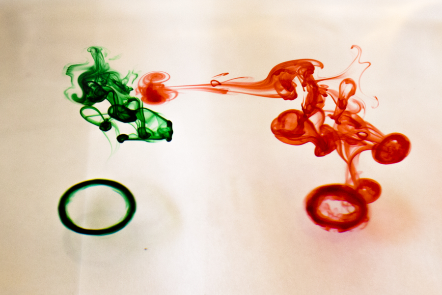
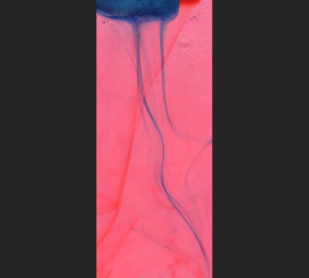
The alcoholic drink ‘Alien Brain Hemorrhage’ consists of Peach Schnapps, Irish Crème Liquor, Blue Curacao and Grenadine. The first two form stably stratified layers_ the last two partially disrupt those layers via the Rayleigh Taylor instability.
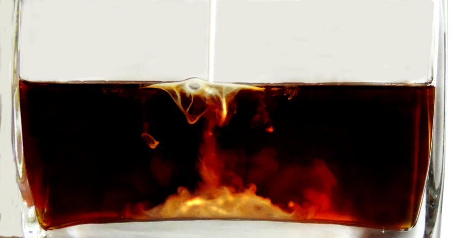
A stream of creamer entering coffee splits_ some remains on the surface due to surface tension effects, while the bulk impacts the bottom.
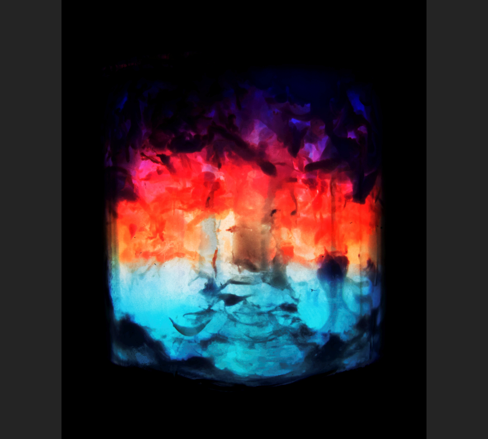
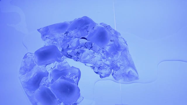
Time lapse (5 second frame rate) of melting ice reveals sudden jumps in the location of the fluid film under the ice.